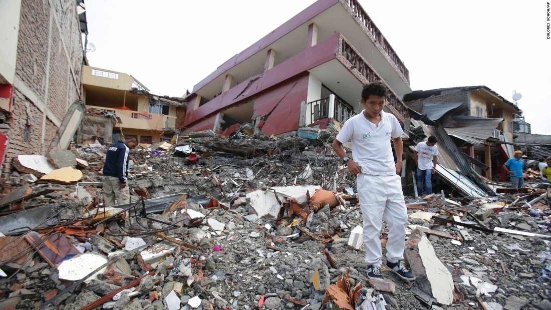
A heavy 6.8 magnitude earthquake had struck off the south of Indonesia and the Sulawesi island on Friday, according to USGS (Geological Survey).
The USGS said the quake hit 280 km (174 miles) south of the province of Gorontalo at a depth of 43 km (27 miles). The earthquake was measured 6.8 magnitudes at 11:40 GMT, according to EMSC, according to Sputnik news reports.
EMSC said the epicentre of the earthquake was at a depth of about 10 Km, located 107 Km south to Luwuk city. However, there weren’t any immediate reports of the caused casualties or damages.
Indonesia has on Friday issued a tsunami warning after Thursday’s earthquake, urging residers to quickly evacuate to at higher level ground, according to Reuters news reports.
Last year, in more than a decade, the country had suffered several earthquakes and two major tsunamis, which claimed lives of around 3,000 people in Palu, as well as Central Sulawesi, where Friday’s earthquake occurred.
Geophysics agency spokesperson Taufan Maulana said, “It is clear that the quake has tsunami potential,” adding, “Residents are advised to evacuate as soon possible.”
The agency is monitoring for high waves as the quake had the potential to trigger a tsunami, it added. In a statement, it said, “The first wave may not be the biggest.”
A resident of Manado, the capital of North Sulawesi province, Gina Saerang said the earthquake was “strong and long-lasting”.

